An aerial survey of the south west, taking place over the next few months, could help predict future flooding and landslides.
Planes will be flying as low as 80 metres over open countryside, and higher over built-up areas.
The project has begun at the western tip of Cornwall and will reach Exeter some time next month.
 Plymouth McDonald's wants 24/7 opening hours
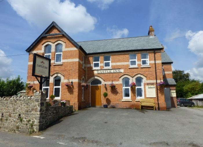 Village’s only pub could close permanently
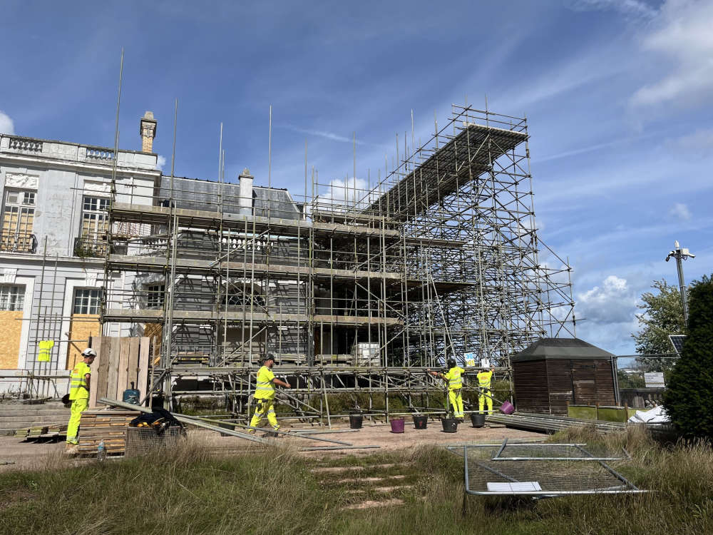 Government grant helps kick-start Oldway Mansion repairs
 Devon plant firm digs in over land row
 Torquay father’s concern as son held by Israeli forces
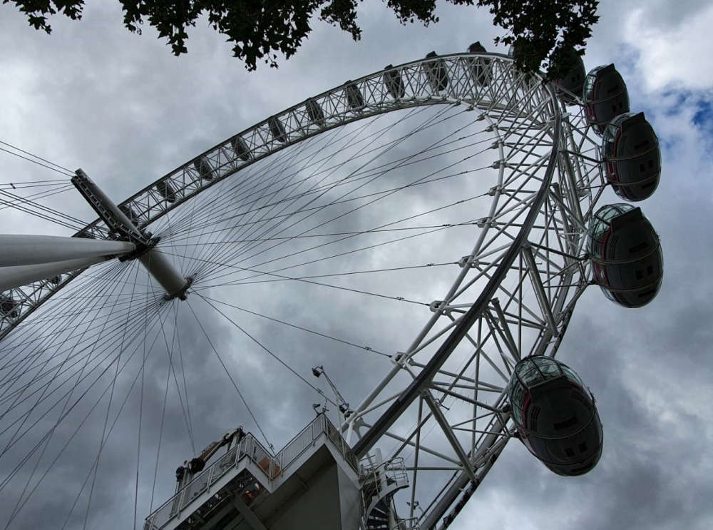 Torbay is getting a Big Wheel after all!