An aerial survey of the south west, taking place over the next few months, could help predict future flooding and landslides.
Planes will be flying as low as 80 metres over open countryside, and higher over built-up areas.
The project has begun at the western tip of Cornwall and will reach Exeter some time next month.
 Voaden raises Slapton Line plight to PM
 Exeter man charged with attempted murder of police officer
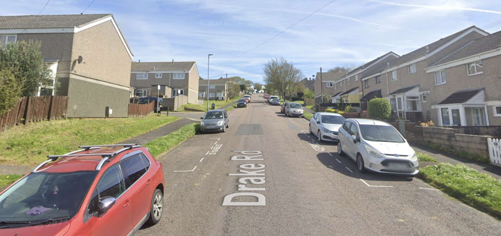
 Legal moves begin to evict Exeter travellers
 Don't fall for a deepfake this Valentine's
 Teignmouth Air Show cancelled again
 Leisure company gets £975,000 loan from council