An aerial survey of the south west, taking place over the next few months, could help predict future flooding and landslides.
Planes will be flying as low as 80 metres over open countryside, and higher over built-up areas.
The project has begun at the western tip of Cornwall and will reach Exeter some time next month.
 Torquay man jailed for cannabis smuggling plot
 20-year healthcare partnership in Torbay under threat
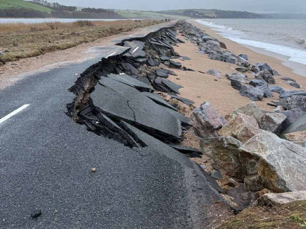 Battered seawall needs further inspections
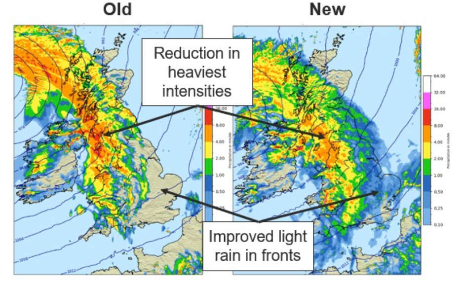 A change in the weather
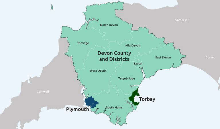 Have your say in revised Devon political map